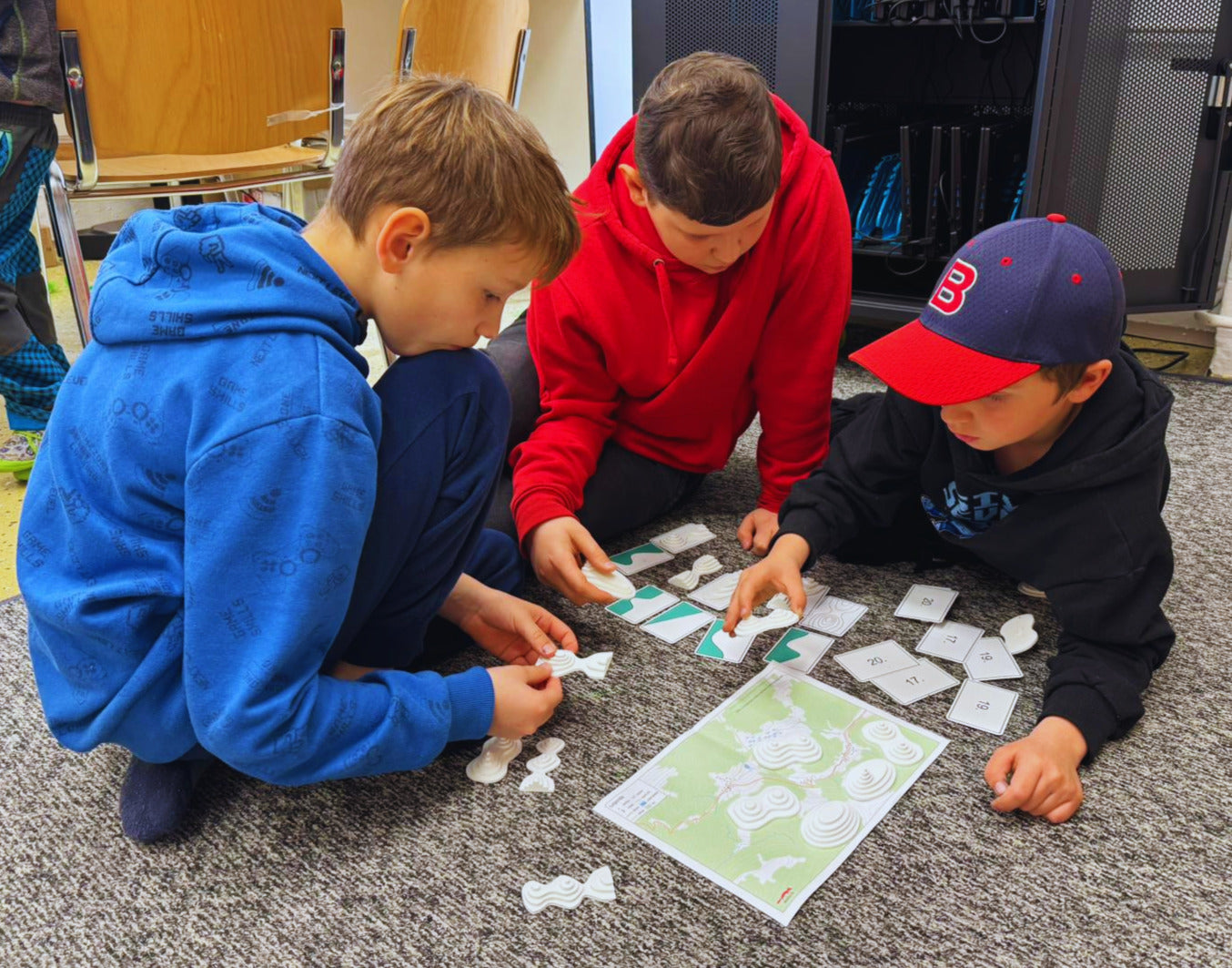
Understanding contour lines and reading elevation on a map can be challenging not only for children. This hands-on teaching set makes it easier to grasp how terrain is represented and helps students clearly understand landforms such as valleys, ridges, saddles, and gorges.
The set includes contour line cards with elevation profiles and matching 3D terrain models, allowing students to compare 2D map representation with real spatial form. Each card and model is numbered for self-checking. Suitable for classroom activities as well as outdoor fieldwork.
✅ Includes: 40 contour line and elevation profile cards ✅ Includes: 20 matching 3D terrain models ✅ Extras: 4 printable worksheets (also available in digital format) ✅ Suitable for: primary and secondary schools